INNOCEANA CONSOLIDATES ITS COLLABORATION IN COCOS ISLAND'S CONSERVATION
- The environmental NGO works together with SINAC to monitor the evolution of the sea bed thanks to 3D modeling techniques.
- Innoceana’s marine biologists have trained the rangers so they can pursue the data collection needed to reinforce conservation efforts in Cocos Marine Conservation Area.
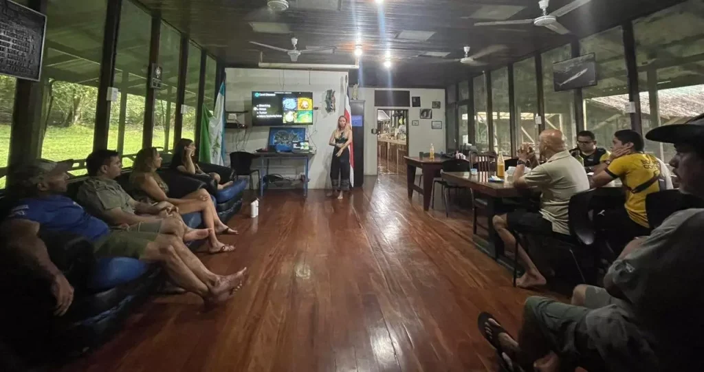
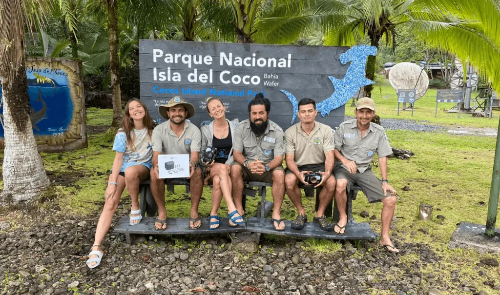
January 23rd, 2023; Ojochal de Osa, Costa Rica — The marine conservation organization Innoceana reinforces its scientific research on Cocos Island, aiming at monitoring coral reef changes in this area. Its scientific team —composed of Laura Vanopdenbosch and Julia Zafra on the most recent expedition in late 2022— continues to lead research in the most remote location of Costa Rica for the second year in a row. Innoceana’s Marine Conservation and Education Center (MCEC Innoceana Costa Rica) collects biological data in collaboration with the park rangers, working together with them on protocols and conservation methods.
Laura Vanopdenbosch, marine biologist at Innoceana, trains the ranger team for the 3D modeling of the sea bed.
Thanks to a pilot plan that was defined in 2021, and perfected in 2022, the baseline for studying the marine ecosystems of Cocos Marine Conservation Area (ACMC) and their evolution overtime has been established. Altogether, the data gathered by SINAC and Innoceana during their annual expeditions, will make possible an assessment of the effects of Cocos Island National Park (PNIC)’s ampliation, effective since late 2021.
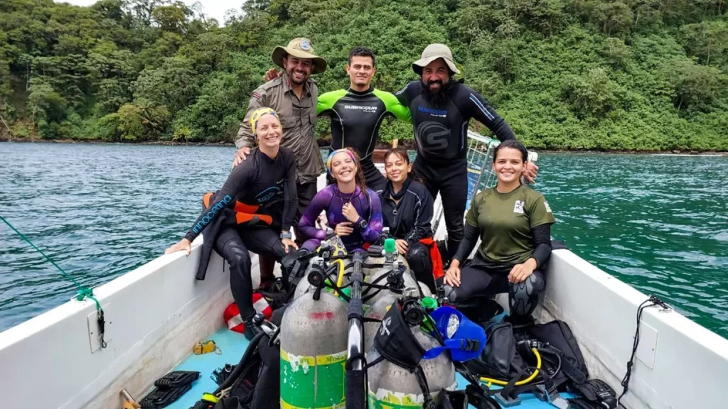
The monitoring team, composed of rangers, a UNA researcher and Innoceana’s marine biologists, November 2022.
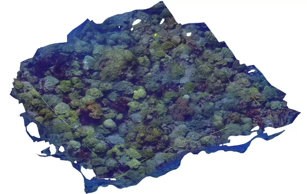
In addition to the National Ecological Monitoring Protocol (PRONAMEC) that SINAC implemented to evaluate coral and rocky reefs, rangers now add the 3D photogrammetry protocol suggested by Innoceana, who trained them for that goal. Such 3D models monitoring was designed to take place twice a year (once during rainy season, and another during dry season) in Cocos Island, on the same sites where SINAC is already applying the PRONAMEC. These coordinated studies aim at comparing data and observing the evolution of ecosystems overtime.
3D models bring a clear visual support for overviewing the reef’s general state. This tridimensional mapping tool allows, among other things, to understand coral-algal coverage, bleaching, diseases, increase or decrease of the coral and its rugosity —that means, its complexity, which is a key indicator of biodiversity and health—. The 3D modeling method would, in the near future, replace the chain-and-tape method currently included in the national protocol for assessing coral rugosity. This method requires chains to be laid upon the coral’s polyps and can be invasive and cause damage to the reef due to the chains’ weight.
Cocos Island has always been admired internationally due to its location and abundance of endemic species. Photo by Yulian Cordero
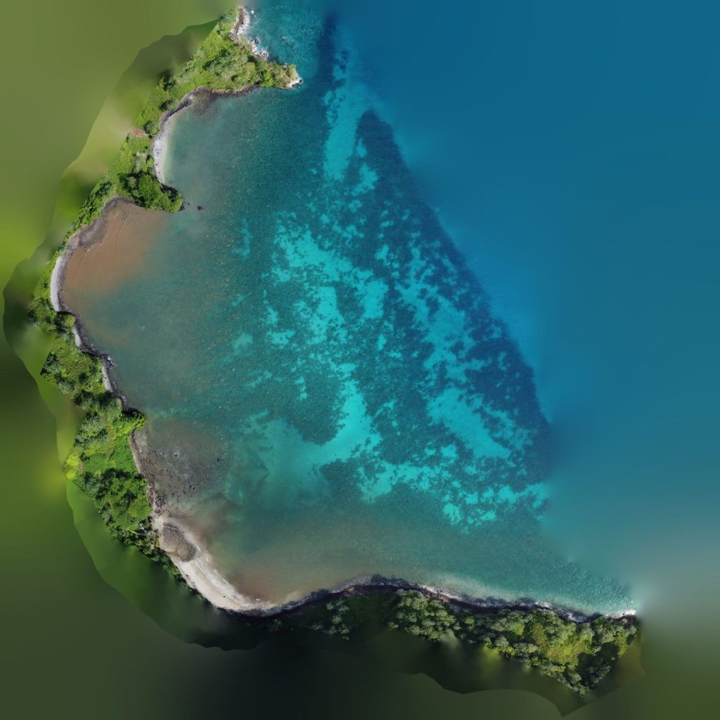
As part of the ACMC coral reefs’ health monitoring, expanding the investigation is also part of the agenda. This includes flying drones in order to create 2D maps of a broader area. Water clarity in Cocos Island indeed allows a proper monitoring of the reefs’ expansion or regression over time. This type of cartography is known as The Crystal Floor and has previously been used by Innoceana’s team in Tenerife, Canary Islands, to help preserve the seagrass meadows, key ecosystem for marine life in that region.
Innoceana donated a drone as well as the photographic equipment needed for data collection in Cocos Island.
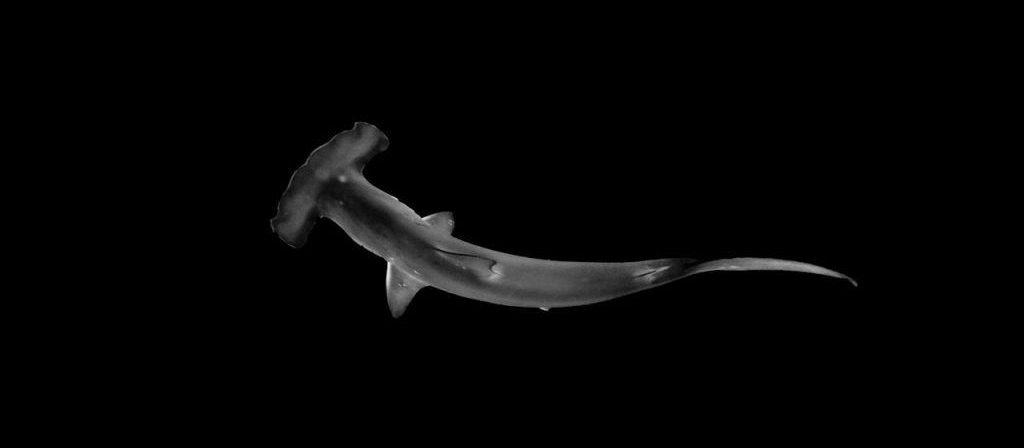
During their latest expedition on the Island, Innoceana’s team also recorded voices for an upcoming episode of Innotales, a series of interactive digital books that encourage pro-environmental behavior from a young age. The park’s rangers recorded and brought local marine species to life, as characters of the next tale. Called “Golfillo, the hammerhead shark, in search of the lost treasure”, this book explores several mysteries associated with the mythical Island.
For further information about this collaboration, the results of the expeditions and their relevance for marine conservation, we invite you to register for a live webinar on February 15th, in English at 10am CR and in Spanish at 12pm CR, through Zoom.